|
| *****SWAAG_ID***** | 1007 |
| Date Entered | 04/10/2017 |
| Updated on | 27/11/2018 |
| Recorded by | Tim Laurie |
| Category | Rock Art |
| Record Type | Archaeology |
| SWAAG Site | Skelton Moor - Cock How area, East of Helwith Road |
| Site Access | Private |
| Record Date | 06/10/2017 |
| Location | Marske and elsewhere in Europe and North Africa.. |
| Civil Parish | Marske |
| Brit. National Grid | |
| Geology | Surface slabs and boulders of fell sandstone. |
| Record Name | A multiple cup marked boulder on Skelton Moor and the widespread practice and context of cup marking. Part One. |
| Record Description | Out of Africa perhaps! This record is the first of several records (Parts) intended to draw attention to and to place the extensive distribution of cup and cup and ring marked rock surfaces on the NE Pennine Fringe in their wider context .
So as to place the cup marked surfaces of Northern Britain within a wider European and North African context I provide one notable example of a cup marked surface located in Swaledale at Forty Acres near Marske to be compared with others at Monte d'Accordi on the island of Sardinia and within the Wadis (canyons) of the Tadrart Akakus and Messak Settafet mountains on the extreme south western borders of Libya.
These Libyan examples were photographed during a visit to this remote area during 2004 organised by Andante Travels and lead by Professor David Mattingley.
The cup marked surfaces of the Tadrart Akakus Range are located on the rock floors and on surface slabs at the front of rock shelters whose walls are extensively decorated with painted prehistoric rock art. In so doing my intention is:
Firstly to place the practice of cup marking in Northern Britain within a wider context.
Secondly to make available within this and subsequent records a suite of these marvellous painted images to a wider audience.
The images can speak for themselves and are presented with minimal comment or precise location details.
Anyone interested can locate these images from the available literature. |
| Dimensions | Various, see photos. |
| Additional Notes | This Record will be the first of several records (Parts) intended to provide a gallery of related images on this subject.
Related books an References:
Axel and Anne-Michelle Van Albada. 'La Montagne Des Hommes-Chiens. Art Rupestredu Messak Libyen.'
|
| Image 1 ID | 7422 Click image to enlarge |
| Image 1 Description | Swaledale, Marske CP, Forty Acres. Isolated boulder with multiple cup marks. | 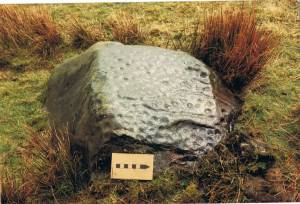 |
| Image 2 ID | 7423 Click image to enlarge |
| Image 2 Description | Sardinia. Monte d'Accordi. Multiple cup marks on a remarkable cracked egg-shaped boulder, an exact analogue for the Universal Egg of the Pelasgian Creation Myth (Reference. Robert Graves, The Greek Myths,Vol.1 The Folio Society, P35,1996.) | 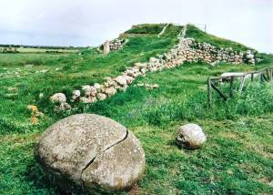 |
| Image 3 ID | 7424 Click image to enlarge |
| Image 3 Description | Detail of last | 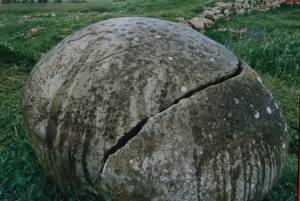 |
| Image 4 ID | 7411 Click image to enlarge |
| Image 4 Description | Libya. Tadrart Akakus Range. View from a rock shelter whose walls have prehistoric and later painted decoration. | 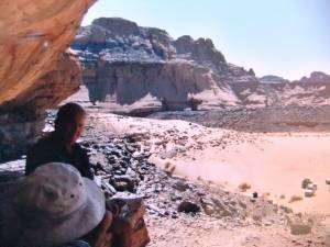 |
| Image 5 ID | 7412 Click image to enlarge |
| Image 5 Description | Earliest, 'Round Head' Hunters. | 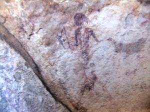 |
| Image 6 ID | 7413 Click image to enlarge |
| Image 6 Description | Libya. Tadrart Akakus Range. Earliest, 'Round Head' Hunters. | 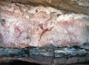 |
| Image 7 ID | 7414 Click image to enlarge |
| Image 7 Description | Libya. Tadrart Akakus Range. Ostrich with hunter in foreground. | 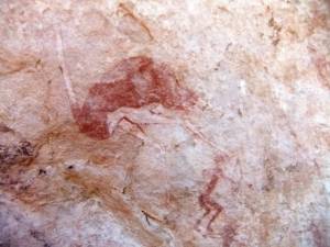 |
| Image 8 ID | 7415 Click image to enlarge |
| Image 8 Description | Libya. Tadrart Akakus Range. Hippopotamus on wall of Rock Shelter. Now at the centre of the most arid area on earth. | 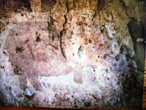 |
| Image 9 ID | 7416 Click image to enlarge |
| Image 9 Description | Libya. Tadrart Akakus Range. Earliest, 'Round Head' Hunters. | 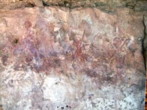 |
| Image 10 ID | 7421 Click image to enlarge |
| Image 10 Description | Libya. Tadrart Akakus Range. View from rock shelter. Look closely to see the cup marks on the rock floor in foreground. | 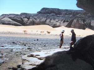 |
| Image 11 ID | 7425 Click image to enlarge |
| Image 11 Description | Global warming is not new! This isolated tree is a lone survivor of a once fertile landscape teeming with game. | 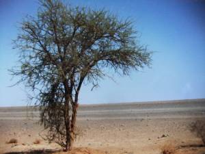 |
| Image 12 ID | 7426 Click image to enlarge |
| Image 12 Description | Old Garama. The most southerly mud brick city of the Roman Empire. | 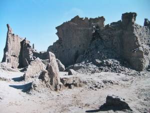 |
| Image 13 ID | 7433 Click image to enlarge |
| Image 13 Description | Old Garama. | 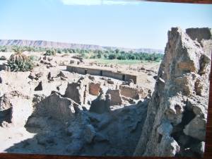 |
| Image 14 ID | 7427 Click image to enlarge |
| Image 14 Description | | 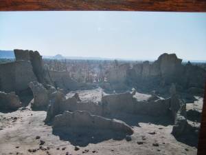 |
| Image 15 ID | 7428 Click image to enlarge |
| Image 15 Description | Garma. Prof. David Mattingley inspects the Roman cenotaph | 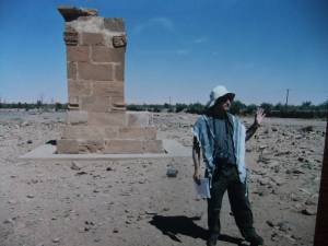 |
| Image 16 ID | 7429 Click image to enlarge |
| Image 16 Description | Ruined cemetary. Garma. | 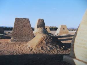 |
| Image 17 ID | 7430 Click image to enlarge |
| Image 17 Description | | 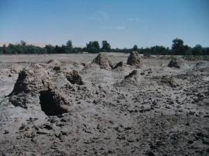 |
| Image 18 ID | 7431 Click image to enlarge |
| Image 18 Description | |  |
| Image 19 ID | 7432 Click image to enlarge |
| Image 19 Description | | 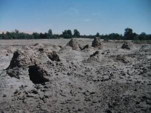 |
| Image 20 ID | 7435 Click image to enlarge |
| Image 20 Description | Siesta. Garma Oasis | 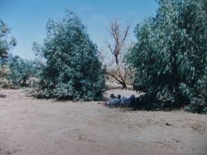 |
| Image 21 ID | 7436 Click image to enlarge |
| Image 21 Description | Old lake bed. Travelling at high speed towards the Acacus Rock Art sites | 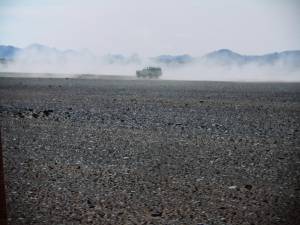 |
| Image 22 ID | 7437 Click image to enlarge |
| Image 22 Description | The Acacus seen during the drive. | 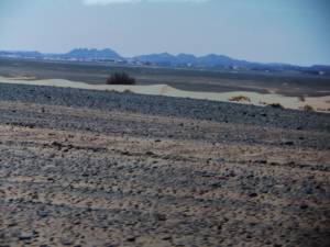 |
| Image 23 ID | 7438 Click image to enlarge |
| Image 23 Description | We enter the Acacus at speed. | 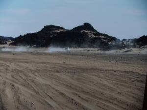 |
| Image 24 ID | 7439 Click image to enlarge |
| Image 24 Description | Acacus at close quarters | 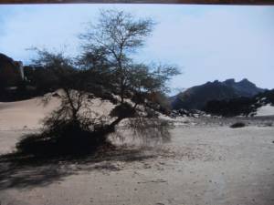 |
| Image 25 ID | 7440 Click image to enlarge |
| Image 25 Description | | 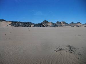 |
| Image 26 ID | 7441 Click image to enlarge |
| Image 26 Description | Stony desert | 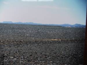 |
| Image 27 ID | 7442 Click image to enlarge |
| Image 27 Description | | 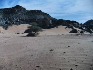 |
| Image 28 ID | 7443 Click image to enlarge |
| Image 28 Description | | 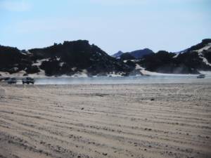 |


